
Mont Habitant topographic map
Click on the map to display elevation.
About this map
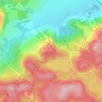
Name: Mont Habitant topographic map, elevation, terrain.
Average elevation: 297 m
Minimum elevation: 199 m
Maximum elevation: 395 m
Les Pays-d'en-Haut trails, hiking, mountain biking, running and outdoor activities
Other topographic maps
Click on a map to view its topography, its elevation and its terrain.