
Göteborg topographic map
Interactive map
Click on the map to display elevation.
About this map
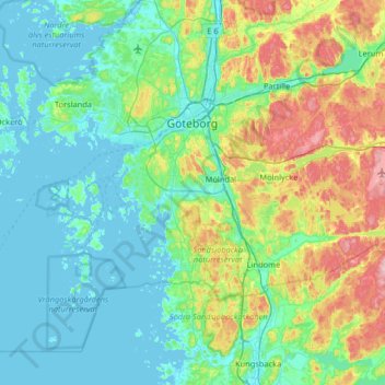
Name: Göteborg topographic map, elevation, terrain.
Average elevation: 40 m
Minimum elevation: -3 m
Maximum elevation: 177 m
Other topographic maps
Click on a map to view its topography, its elevation and its terrain.
Heden
Zweden > Västra Götalands län > Göteborg
Heden, Centrum, Göteborg, Västra Götalands län, Götaland, Zweden
Average elevation: 25 m