Geolocate

Haldi topographic map

Click on the map to display elevation.

About this map

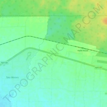
Name: Haldi topographic map, elevation, terrain.

Location: Haldi, Kichha, Udham Singh Nagar, Uttarakhand, 263145, India (29.01715 79.42687 29.05715 79.46687)

Average elevation: 232 m

Minimum elevation: 221 m

Maximum elevation: 249 m

Gear up for your next adventure:

🩹Moleskin Blister Pads - Direct protection for painful foot pressure points
🥾Mountain Trail Shoes - High-traction shoes for mountain trails
💡Compact LED Flashlight - Powerful and portable flashlight for outdoor use
Camping Groundsheet - Protect your tent from moisture and dirt
🧢Beanie Hat - Keep your head warm in cold weather

As an Amazon Associate, this site earns from qualifying purchases at no extra cost to you.