Geolocate

Kencong topographic map

Click on the map to display elevation.

About this map

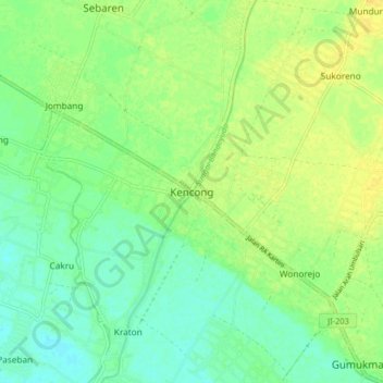
Name: Kencong topographic map, elevation, terrain.

Location: Kencong, Jember, East Java, Java, Indonesia (-8.31382 113.32857 -8.23382 113.40857)

Average elevation: 12 m

Minimum elevation: 2 m

Maximum elevation: 22 m

Gear up for your next adventure:

🛏️Camping Sleeping Mat - Comfortable mats for sleeping outdoors
🥾Lightweight Hiking Boots - Boots for comfort and mobility on long hikes
🧦Hiking Liner Socks - Thin base layer to prevent friction and blisters
🪑Insulated Seat Pad - Protect your seat from cold rocks and wet logs
🧦Hiking Socks - Moisture-wicking and comfortable socks for long hikes

As an Amazon Associate, this site earns from qualifying purchases at no extra cost to you.