
Dullingari topographic map
Click on the map to display elevation.
About this map
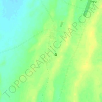
Name: Dullingari topographic map, elevation, terrain.
Average elevation: 89 m
Minimum elevation: 78 m
Maximum elevation: 98 m
Other topographic maps
Click on a map to view its topography, its elevation and its terrain.
Bookabourdie Waterhole
Australia > South Australia > Pastoral Unincorporated Area > Innamincka
Average elevation: 44 m
Malkumba-Coongie Lakes National Park
Australia > South Australia > Pastoral Unincorporated Area > Innamincka
Average elevation: 36 m