Geolocate

Kamanga topographic map

Click on the map to display elevation.

About this map

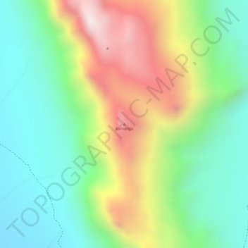
Name: Kamanga topographic map, elevation, terrain.

Location: Kamanga, Waso ward, Samburu East, Samburu, Rift Valley, Kenya (0.76174 37.89926 0.76184 37.89936)

Average elevation: 1,041 m

Minimum elevation: 756 m

Maximum elevation: 1,478 m

Gear up for your next adventure:

🛌Down Sleeping Bag - Superior warmth-to-weight ratio for cold nights
🧥Ultralight Puffy Jacket - Maximum warmth that packs down to the size of an orange
🧦Merino Wool Socks - Moisture-wicking comfort for long-distance hiking
🧊Portable Cooler - Keep food and drinks cold during outdoor adventures
🥾Waterproof Hiking Shoes - Durable shoes for wet and rugged trails

As an Amazon Associate, this site earns from qualifying purchases at no extra cost to you.