
Mazérat topographic map
Interactive map
Click on the map to display elevation.
About this map
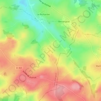
Name: Mazérat topographic map, elevation, terrain.
Average elevation: 521 m
Minimum elevation: 456 m
Maximum elevation: 578 m
Other topographic maps
Click on a map to view its topography, its elevation and its terrain.
Chamoncel
France > Auvergne-Rhône-Alpes > Allier > Saint-Fargeol
Chamoncel, Saint-Fargeol, Montluçon, Allier, Auvergne-Rhône-Alpes, France métropolitaine, 03420, France
Average elevation: 502 m