

Nakuru topographic map
Click on the map to display elevation.
Nakuru
On 3 June 2021, Nakuru was officially endorsed for city status after the Kenyan Senate voted for its elevation from a Municipality. The President of the Republic of Kenya will need to give a city charter for official transformation to city status. If and once given the charter, Nakuru will be the fourth city of Kenya after Nairobi city, Mombasa city and Kisumu city.
About this map
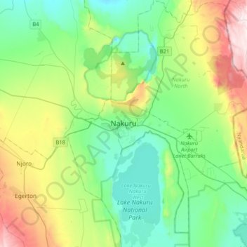
Name: Nakuru topographic map, elevation, terrain.
Location: Nakuru, Kenya (-0.44027 35.91120 -0.12027 36.23120)
Average elevation: 1,993 m
Minimum elevation: 1,717 m
Maximum elevation: 2,703 m