Geolocate

Podalla topographic map

Click on the map to display elevation.

About this map

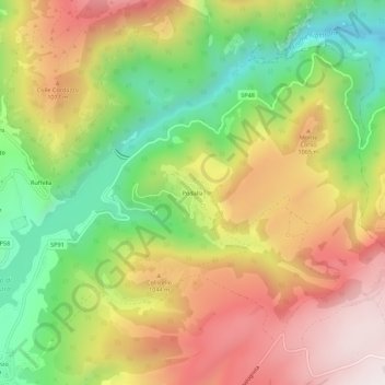
Name: Podalla topographic map, elevation, terrain.

Location: Podalla, Fiastra, Macerata, Marche, 62035, Italy (43.03674 13.17406 43.07674 13.21406)

Average elevation: 898 m

Minimum elevation: 484 m

Maximum elevation: 1,322 m

Gear up for your next adventure:

❄️Traction Ice Cleats - Slip-on spikes for icy trails and winter hiking
🛌Down Sleeping Bag - Superior warmth-to-weight ratio for cold nights
🥫Freeze-Dried Meals - Lightweight, high-calorie nutrition for multi-day treks
🥾Durable Hiking Shoes - Long-lasting shoes for frequent hiking
🥾Lightweight Hiking Shoes - Comfortable shoes for day hikes

As an Amazon Associate, this site earns from qualifying purchases at no extra cost to you.