Geolocate

Tea topographic map

Click on the map to display elevation.

About this map

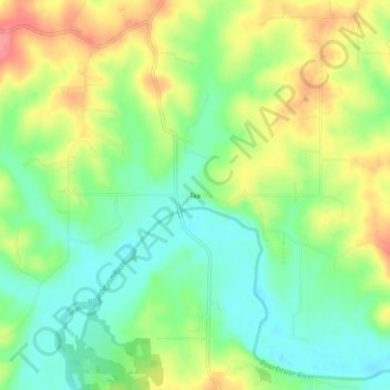
Name: Tea topographic map, elevation, terrain.

Location: Tea, Gasconade County, Missouri, United States (38.28005 -91.41654 38.32005 -91.37654)

Average elevation: 239 m

Minimum elevation: 207 m

Maximum elevation: 283 m

Other topographic maps

Click on a map to view its topography, its elevation and its terrain.

Bland

United States > Missouri > Gasconade County

Average elevation: 283 m

Owensville

United States > Missouri > Gasconade County

Average elevation: 279 m

Hermann

United States > Missouri > Gasconade County

Average elevation: 190 m

Gear up for your next adventure:

🗺️Topographic Maps - Detailed maps to explore trails, mountains, and wilderness areas
🎒Hiking Backpack - Lightweight and ergonomic backpacks for day hikes or multi-day treks
👟Trail Running Shoes - Agile footwear for fast-paced topographic exploration
🧴Outdoor Sunscreen - High SPF protection for high-altitude UV exposure
🦯Trekking Poles - Reduced impact on joints for steep topographic climbs

As an Amazon Associate, this site earns from qualifying purchases at no extra cost to you.