Geolocate

La Rinconada topographic map

Click on the map to display elevation.

About this map

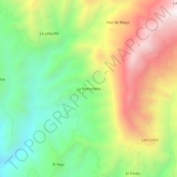
Name: La Rinconada topographic map, elevation, terrain.

Location: La Rinconada, La Coipa, San Ignacio, Cajamarca, Perú (-5.43408 -79.00185 -5.39408 -78.96185)

Average elevation: 1,392 m

Minimum elevation: 882 m

Maximum elevation: 2,066 m

Gear up for your next adventure:

🏕️Camping Hammock - Integrated protection for sleeping between trees
🦟Insect Repellent - Keep mosquitoes and black flies away in wooded areas
🧭GPS Handheld Device - Reliable GPS navigation for outdoor adventures
🥾Durable Hiking Shoes - Long-lasting shoes for frequent hiking
🥾Hiking Leggings - Comfortable leggings for outdoor activities

As an Amazon Associate, this site earns from qualifying purchases at no extra cost to you.