Geolocate

Wangjia topographic map

Click on the map to display elevation.

About this map

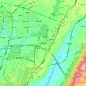
Name: Wangjia topographic map, elevation, terrain.

Location: Wangjia, Yubei District, Yubei, Chongqing, China (29.73310 106.65585 29.81310 106.73585)

Average elevation: 377 m

Minimum elevation: 201 m

Maximum elevation: 808 m

Gear up for your next adventure:

🏕️Camping Hammock - Integrated protection for sleeping between trees
🧴Waterproofing Spray - Restore the DWR coating on jackets and tents
🔭Compact Binoculars - Lightweight optics for scouting trails and wildlife
🧢Hiking Hat - Sun-protective and breathable hats for long treks
💧Filtered Water Bottle - Safe drinking water on the go

As an Amazon Associate, this site earns from qualifying purchases at no extra cost to you.