Geolocate

Denver topographic map

Click on the map to display elevation.

About this map

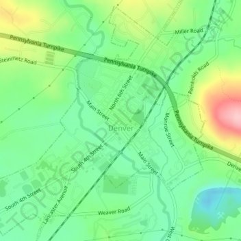
Name: Denver topographic map, elevation, terrain.

Location: Denver, Lancaster County, Pennsylvania, United States (40.22101 -76.15861 40.24649 -76.12515)

Average elevation: 134 m

Minimum elevation: 80 m

Maximum elevation: 236 m

Other topographic maps

Click on a map to view its topography, its elevation and its terrain.

Gear up for your next adventure:

🛏️Sleeping Bag - Warm and compact sleeping bags for outdoor camping
🌬️Windproof Camp Stove - Efficient cooking even on exposed mountain peaks
💧Reusable Water Bottle - Durable water bottles for hydration on trails
🧊Insulated Water Bottle - Keeps drinks cold in summer and prevents freezing in winter
🥫Freeze-Dried Meals - Lightweight, high-calorie nutrition for multi-day treks

As an Amazon Associate, this site earns from qualifying purchases at no extra cost to you.