Geolocate

Biebesheim am Rhein topographic map

Click on the map to display elevation.

About this map

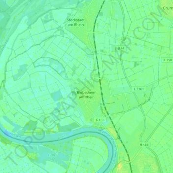
Name: Biebesheim am Rhein topographic map, elevation, terrain.

Location: Biebesheim am Rhein, Kreis Groß-Gerau, Hesse, 64584, Germany (49.76557 8.41311 49.80373 8.50435)

Average elevation: 89 m

Minimum elevation: 82 m

Maximum elevation: 99 m

Gear up for your next adventure:

🔨Vehicle Emergency Tool - Safety tool for remote road trips to trailheads
🧊Insulated Water Bottle - Keeps drinks cold in summer and prevents freezing in winter
🥾Trail Hiking Shoes - Durable shoes designed for rugged trails
🛏️Camping Sleeping Mat - Comfortable mats for sleeping outdoors
🧦Hiking Socks - Moisture-wicking and comfortable socks for long hikes

As an Amazon Associate, this site earns from qualifying purchases at no extra cost to you.