
Great Swan Island topographic map
Interactive map
Click on the map to display elevation.
About this map
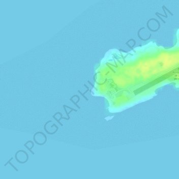
Name: Great Swan Island topographic map, elevation, terrain.
Location: Great Swan Island, Bay Islands, Honduras (17.40471 -83.94580 17.40514 -83.94556)
Average elevation: 1 m
Minimum elevation: 0 m
Maximum elevation: 17 m
Other topographic maps
Click on a map to view its topography, its elevation and its terrain.