
로동 topographic map
Interactive map
Click on the map to display elevation.
About this map
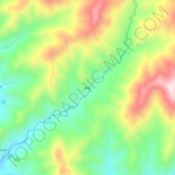
Name: 로동 topographic map, elevation, terrain.
Location: 로동, Poptong County, Kangwon, North Korea (39.12571 127.13947 39.16571 127.17947)
Average elevation: 637 m
Minimum elevation: 432 m
Maximum elevation: 922 m