
Şekersu topographic map
Interactive map
Click on the map to display elevation.
About this map
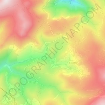
Name: Şekersu topographic map, elevation, terrain.
Location: Şekersu, Çaykara, Trabzon, Schwarzmeerregion, Türkei (40.53158 40.27466 40.57158 40.31466)
Average elevation: 2,421 m
Minimum elevation: 2,017 m
Maximum elevation: 2,744 m