Geolocate

Pangpang topographic map

Click on the map to display elevation.

About this map

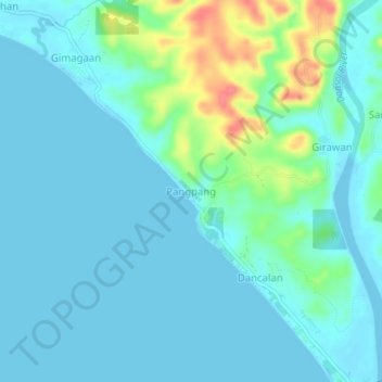
Name: Pangpang topographic map, elevation, terrain.

Location: Pangpang, Donsol, Sorsogon, Bicol Region, 4715, Philippines (12.91198 123.55152 12.95198 123.59152)

Average elevation: 13 m

Minimum elevation: -3 m

Maximum elevation: 71 m

Gear up for your next adventure:

🥽Outdoor Goggles - Protective eyewear for outdoor activities
🧣Merino Neck Gaiter - Protects against wind, sun, and cold at high altitudes
🪑Ultralight Camping Stool - Compact seating for rest stops during long hikes
🌬️Windproof Camp Stove - Efficient cooking even on exposed mountain peaks
🔭Outdoor Binoculars - Lightweight binoculars for birdwatching and hiking

As an Amazon Associate, this site earns from qualifying purchases at no extra cost to you.