
Sirsa topographic map
Interactive map
Click on the map to display elevation.
About this map
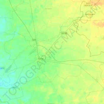
Name: Sirsa topographic map, elevation, terrain.
Location: Sirsa, Haryana, India (29.43870 74.88270 29.68154 75.30325)
Average elevation: 204 m
Minimum elevation: 195 m
Maximum elevation: 216 m