
Thank you for supporting this site ❤️
Make a donation
Make a donation
Gear up for your next adventure:
As an Amazon Associate, this site earns from qualifying purchases at no extra cost to you.
Muro topographic map
Click on the map to display elevation.
Thank you for supporting this site ❤️
Make a donation
Make a donation
Gear up for your next adventure:
As an Amazon Associate, this site earns from qualifying purchases at no extra cost to you.
About this map
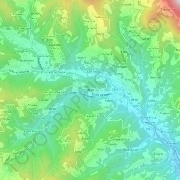
Name: Muro topographic map, elevation, terrain.
Location: Muro, Valli del Pasubio, Vicenza, Veneto, 36076, Italië (45.72069 11.23324 45.76069 11.27324)
Average elevation: 519 m
Minimum elevation: 286 m
Maximum elevation: 1,095 m
Thank you for supporting this site ❤️
Make a donation
Make a donation
Gear up for your next adventure:
As an Amazon Associate, this site earns from qualifying purchases at no extra cost to you.