
Reggane topographic map
Click on the map to display elevation.
About this map
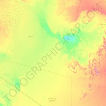
Name: Reggane topographic map, elevation, terrain.
Location: Reggane, Reggane District, Adrar, 01200, Algeria (23.99495 -5.66826 26.99525 1.43888)
Average elevation: 346 m
Minimum elevation: 121 m
Maximum elevation: 1,348 m