
Thank you for supporting this site ❤️
Make a donation
Make a donation
Gear up for your next adventure:
As an Amazon Associate, this site earns from qualifying purchases at no extra cost to you.
Nanga-an topographic map
Click on the map to display elevation.
Thank you for supporting this site ❤️
Make a donation
Make a donation
Gear up for your next adventure:
As an Amazon Associate, this site earns from qualifying purchases at no extra cost to you.
About this map
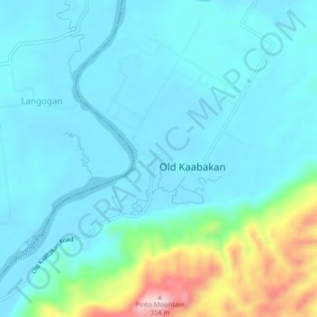
Name: Nanga-an topographic map, elevation, terrain.
Location: Nanga-an, Kabacan, Cotabato, Soccsksargen, 9407, Philippines (7.21389 124.82046 7.25389 124.86046)
Average elevation: 76 m
Minimum elevation: 20 m
Maximum elevation: 338 m
Thank you for supporting this site ❤️
Make a donation
Make a donation
Gear up for your next adventure:
As an Amazon Associate, this site earns from qualifying purchases at no extra cost to you.