Geolocate

Baduria topographic map

Click on the map to display elevation.

About this map

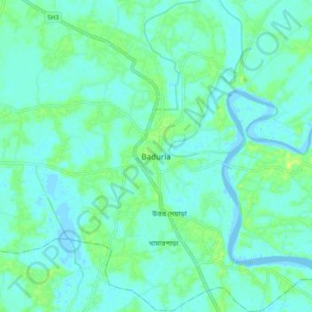
Name: Baduria topographic map, elevation, terrain.

Location: Baduria, North 24 Parganas, West Bengal, 743401, India (22.69668 88.74738 22.77668 88.82738)

Average elevation: 5 m

Minimum elevation: -4 m

Maximum elevation: 15 m

Gear up for your next adventure:

🧥Fleece Jacket - Warm and lightweight jacket for layering
🐕Hiking Dog Pack - Let your canine companion carry their own water and food
💡Portable Camping Lamp - Rechargeable lamp for campsite lighting
🚲Heavy Duty Bike Lock - Secure your bike at the trailhead or during stops
❄️Traction Ice Cleats - Slip-on spikes for icy trails and winter hiking

As an Amazon Associate, this site earns from qualifying purchases at no extra cost to you.