
Make a donation
Gear up for your next adventure:
As an Amazon Associate, this site earns from qualifying purchases at no extra cost to you.
Boccasette topographic map
Click on the map to display elevation.
Make a donation
Gear up for your next adventure:
As an Amazon Associate, this site earns from qualifying purchases at no extra cost to you.
About this map
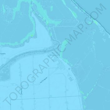
Name: Boccasette topographic map, elevation, terrain.
Location: Boccasette, Porto Tolle, Rovigo, Venetien, 45018, Italien (44.98146 12.40210 45.02146 12.44210)
Average elevation: -2 m
Minimum elevation: -8 m
Maximum elevation: 4 m
Make a donation
Gear up for your next adventure:
As an Amazon Associate, this site earns from qualifying purchases at no extra cost to you.
Other topographic maps
Click on a map to view its topography, its elevation and its terrain.
Make a donation
Gear up for your next adventure:
As an Amazon Associate, this site earns from qualifying purchases at no extra cost to you.
Loreo
Loreo hatte eine gewisse Bedeutung für den Handel, weil über den Naviglio, einen Teil des heutigen Canal Bianco, ein großer Teil des Handels mit der Emilia und der Lombardei abgewickelt wurde. Zollstellen bestanden in Cavanella Po (ein Ortsteil von Adria) und in Loreo. Im Ortsteil Tornova befindet sich…
Average elevation: -2 m