
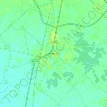
Manglaur topographic map
Interactive map
Click on the map to display elevation.
About this map
Name: Manglaur topographic map, elevation, terrain.
Location: Manglaur, Roorkee, Haridwar, Uttarakhand, 247656, Inde (29.75215 77.83606 29.83215 77.91606)
Average elevation: 264 m
Minimum elevation: 259 m
Maximum elevation: 271 m