Geolocate

Baru topographic map

Click on the map to display elevation.

About this map

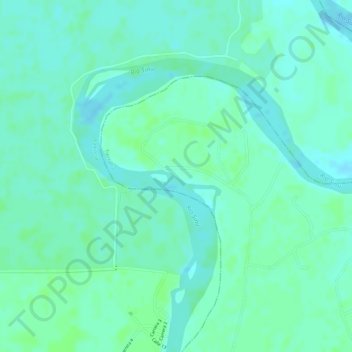
Name: Baru topographic map, elevation, terrain.

Location: Baru, Tierralta, Alto Sinú, Córdoba, RAP Caribe, Colombia (8.25498 -76.07488 8.27498 -76.05488)

Average elevation: 38 m

Minimum elevation: 33 m

Maximum elevation: 41 m

Gear up for your next adventure:

💧Hydration Pack - Hands-free hydration system for long hikes
🥾Mountaineering Boots - Supportive boots for climbing and high-altitude hiking
🧶550 Survival Paracord - Versatile utility cord for emergency repairs and rigging
🧳Compression Sacks - Maximize space in your backpack by shrinking gear
🧊Portable Cooler - Keep food and drinks cold during outdoor adventures

As an Amazon Associate, this site earns from qualifying purchases at no extra cost to you.