Geolocate

Pharkaythang topographic map

Click on the map to display elevation.

About this map

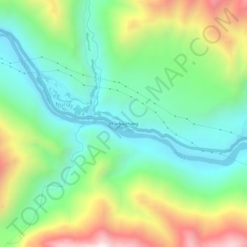
Name: Pharkaythang topographic map, elevation, terrain.

Location: Pharkaythang, Nurla, Sham Valley, Ladakh, India (34.27958 76.97210 34.31958 77.01210)

Average elevation: 3,338 m

Minimum elevation: 2,979 m

Maximum elevation: 4,030 m

Gear up for your next adventure:

🧥Fleece Jacket - Warm and lightweight jacket for layering
🪜Heavy Duty Carabiners - Multi-use clips for securing gear to your backpack
🧰Emergency Multi-Tool - Compact multi-tool for outdoor survival
🧥Waterproof Hiking Jacket - Protect yourself from rain and wind while hiking
🐕Hiking Dog Pack - Let your canine companion carry their own water and food

As an Amazon Associate, this site earns from qualifying purchases at no extra cost to you.