
Valdoré topographic map
Interactive map
Click on the map to display elevation.
About this map
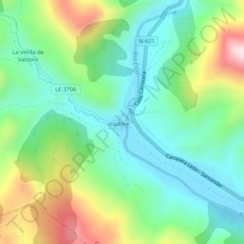
Name: Valdoré topographic map, elevation, terrain.
Location: Valdoré, Crémenes, Cistierna, Castilla y León, España (42.86946 -5.16504 42.87143 -5.16211)
Average elevation: 1,111 m
Minimum elevation: 963 m
Maximum elevation: 1,428 m