
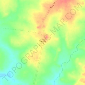
Gaetán topographic map
Interactive map
Click on the map to display elevation.
About this map
Name: Gaetán topographic map, elevation, terrain.
Location: Gaetán, Lavalleja, 96300, Uruguay (-34.13001 -55.48142 -34.12774 -55.47919)
Average elevation: 130 m
Minimum elevation: 102 m
Maximum elevation: 157 m