Geolocate

La Rábita topographic map

Click on the map to display elevation.

About this map
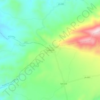
Name: La Rábita topographic map, elevation, terrain.

Location: La Rábita, Alcalá la Real, Jaén, Andalucía, España (37.48496 -4.07806 37.52496 -4.03806)

Average elevation: 657 m

Minimum elevation: 500 m

Maximum elevation: 981 m

Gear up for your next adventure:

🛁Quick-Dry Microfiber Towel - Space-saving towel that dries rapidly on the move
💡LED Camping Lantern - Illuminate your campsite with long-lasting lanterns
🧊Portable Cooler - Keep food and drinks cold during outdoor adventures
🥾All-Terrain Hiking Boots - Versatile boots for varied hiking conditions
🥾Lightweight Hiking Shoes - Comfortable shoes for day hikes

As an Amazon Associate, this site earns from qualifying purchases at no extra cost to you.