
Dhauliganga topographic map
Interactive map
Click on the map to display elevation.
About this map
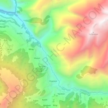
Name: Dhauliganga topographic map, elevation, terrain.
Location: Dhauliganga, Reni, Joshimath, Chamoli, Uttarakhand, Inde (30.48748 79.57549 30.56248 79.69057)
Average elevation: 2,837 m
Minimum elevation: 1,391 m
Maximum elevation: 4,799 m