Geolocate

Castle Rock topographic map

Click on the map to display elevation.

About this map

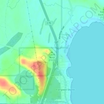
Name: Castle Rock topographic map, elevation, terrain.

Location: Castle Rock, Saint Ignace Township, Mackinac County, Michigan, 49781, United States (45.91056 -84.74151 45.91066 -84.74141)

Average elevation: 185 m

Minimum elevation: 173 m

Maximum elevation: 225 m

Other topographic maps

Click on a map to view its topography, its elevation and its terrain.

Saint Ignace

United States > Michigan > Mackinac County

Average elevation: 189 m

Saint Ignace

United States > Michigan > Mackinac County

Average elevation: 189 m

Mitten Lake

United States > Michigan > Mackinac County

Average elevation: 223 m

Lilly Lake

United States > Michigan > Mackinac County

Average elevation: 225 m

Gear up for your next adventure:

🧥Packable Rain Jacket - Breathable waterproof layer for unpredictable weather
🧭Orienteering Kit - Tools for map reading and navigation in the wild
🧶550 Survival Paracord - Versatile utility cord for emergency repairs and rigging
🥾Hiking Shorts - Breathable shorts suitable for summer hikes
🔦LED Headlamp - Hands-free lighting for early morning starts or late finishes

As an Amazon Associate, this site earns from qualifying purchases at no extra cost to you.