Geolocate

Ippagudem topographic map

Click on the map to display elevation.

About this map

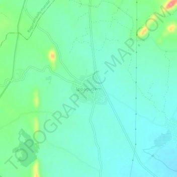
Name: Ippagudem topographic map, elevation, terrain.

Location: Ippagudem, Ghanpur (Stn) mandal, Jangaon, Telangana, India (17.74686 79.35548 17.78686 79.39548)

Average elevation: 332 m

Minimum elevation: 311 m

Maximum elevation: 402 m

Gear up for your next adventure:

🧣Merino Neck Gaiter - Protects against wind, sun, and cold at high altitudes
🧴Waterproofing Spray - Restore the DWR coating on jackets and tents
🥾Waterproof Hiking Shoes - Durable shoes for wet and rugged trails
🧢Outdoor Cap - Protective cap for sun and rain during hikes
🥾All-Terrain Hiking Boots - Versatile boots for varied hiking conditions

As an Amazon Associate, this site earns from qualifying purchases at no extra cost to you.