Geolocate

Paligui topographic map

Click on the map to display elevation.

About this map

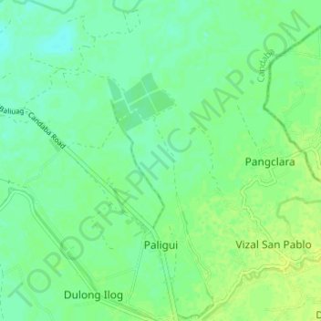
Name: Paligui topographic map, elevation, terrain.

Location: Paligui, Candaba, Pampanga, Central Luzon, 2013, Philippines (15.03634 120.82153 15.08818 120.88273)

Average elevation: 8 m

Minimum elevation: 1 m

Maximum elevation: 15 m

Gear up for your next adventure:

👟Leg Gaiters - Keep debris, mud, and snow out of your boots
🧼Biodegradable Camp Soap - Environmentally friendly cleaning for gear and body
🔭Outdoor Binoculars - Lightweight binoculars for birdwatching and hiking
📷Outdoor Action Camera - Capture high-elevation views and rugged adventures
🥾Trekking Boots - Durable boots for long-distance trekking

As an Amazon Associate, this site earns from qualifying purchases at no extra cost to you.