Geolocate

Volnoye topographic map

Click on the map to display elevation.

About this map
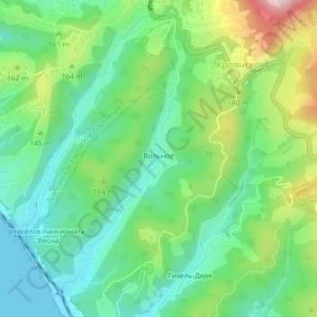
Name: Volnoye topographic map, elevation, terrain.

Location: Volnoye, Tuapsinsky District, Krasnodar Krai, Southern Federal District, 352812, Russia (44.06899 39.10231 44.09232 39.11836)

Average elevation: 108 m

Minimum elevation: -1 m

Maximum elevation: 337 m

Other topographic maps

Click on a map to view its topography, its elevation and its terrain.

Dzhubga

Russia > Krasnodar Krai > Tuapsinsky District

Average elevation: 78 m

Gear up for your next adventure:

💧Hydration Pack - Hands-free hydration system for long hikes
🔦LED Headtorch - Bright and durable light for night activities
🧦Hiking Socks - Moisture-wicking and comfortable socks for long hikes
🧤Rechargeable Heated Gloves - Extreme warmth for Canadian winter expeditions
💡Compact LED Flashlight - Powerful and portable flashlight for outdoor use

As an Amazon Associate, this site earns from qualifying purchases at no extra cost to you.