
Sautens topographic map
Interactive map
Click on the map to display elevation.
About this map
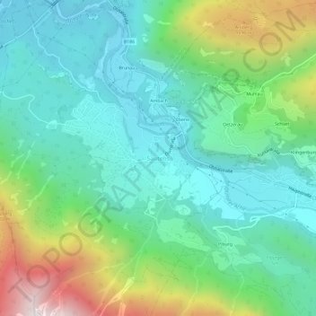
Name: Sautens topographic map, elevation, terrain.
Location: Sautens, Gemeinde Sautens, Bezirk Imst, Tyrol, 6432, Autriche (47.18839 10.84673 47.22839 10.88673)
Average elevation: 1,068 m
Minimum elevation: 692 m
Maximum elevation: 2,054 m