Geolocate

Amsbury topographic map

Click on the map to display elevation.

About this map
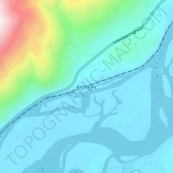
Name: Amsbury topographic map, elevation, terrain.

Location: Amsbury, Area C (Butedale/Kitlope/Kitsumkalum), Regional District of Kitimat-Stikine, British Columbia, Canada (54.44257 -128.79752 54.48257 -128.75752)

Average elevation: 205 m

Minimum elevation: 30 m

Maximum elevation: 1,152 m

Other topographic maps

Click on a map to view its topography, its elevation and its terrain.

Gear up for your next adventure:

🛶Kayak Dry Bag - Waterproof storage for kayaking adventures
🧰Multitool Knife - Compact and versatile tool for outdoor use
🧥Packable Rain Jacket - Breathable waterproof layer for unpredictable weather
🧢Beanie Hat - Keep your head warm in cold weather
🧊Portable Cooler - Keep food and drinks cold during outdoor adventures

As an Amazon Associate, this site earns from qualifying purchases at no extra cost to you.