
Metea topographic map
Interactive map
Click on the map to display elevation.
About this map
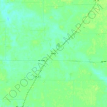
Name: Metea topographic map, elevation, terrain.
Location: Metea, Cass County, Indiana, 46950, USA (40.84921 -86.32944 40.88921 -86.28944)
Average elevation: 239 m
Minimum elevation: 231 m
Maximum elevation: 244 m