Geolocate

Borgaon topographic map

Click on the map to display elevation.

About this map

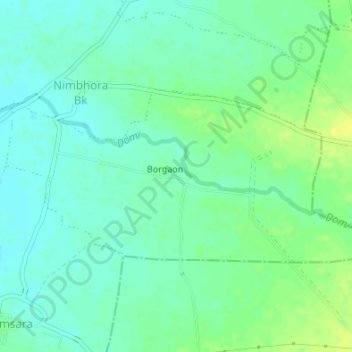
Name: Borgaon topographic map, elevation, terrain.

Location: Borgaon, Bhatkuli, Amravati District, Maharashtra, India (20.86292 77.66310 20.87844 77.69687)

Average elevation: 313 m

Minimum elevation: 305 m

Maximum elevation: 325 m

Gear up for your next adventure:

🔭Outdoor Binoculars - Lightweight binoculars for birdwatching and hiking
🥾Waterproof Hiking Shoes - Durable shoes for wet and rugged trails
🥾Light Trekking Boots - Supportive boots for multi-day treks
🥤Collapsible Travel Cup - Saves space and weight in your mess kit
👖Convertible Hiking Pants - Zip-off legs to adapt to changing weather conditions

As an Amazon Associate, this site earns from qualifying purchases at no extra cost to you.