
Callander topographic map
Click on the map to display elevation.
About this map
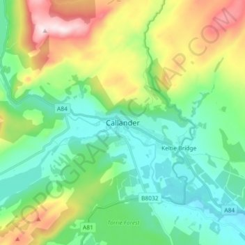
Name: Callander topographic map, elevation, terrain.
Location: Callander, Stirling, Scotland, FK17 8DZ, United Kingdom (56.20369 -4.25480 56.28369 -4.17480)
Average elevation: 203 m
Minimum elevation: 47 m
Maximum elevation: 570 m
Other topographic maps
Click on a map to view its topography, its elevation and its terrain.
Glen Finglas Dam And Hydro-Electric Power Station
United Kingdom > Scotland > Stirling
Average elevation: 235 m