Geolocate

687 topographic map

Click on the map to display elevation.

About this map
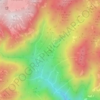
Name: 687 topographic map, elevation, terrain.

Location: 687, Roccagiovine, Roma Capitale, Lazio, Italy (42.04375 12.85441 42.04385 12.85451)

Average elevation: 806 m

Minimum elevation: 454 m

Maximum elevation: 1,083 m

Gear up for your next adventure:

🗺️Topographic Maps - Detailed maps to explore trails, mountains, and wilderness areas
🦶Hiking Shoe Insoles - Added support for high arches and long days on feet
👖Convertible Hiking Pants - Zip-off legs to adapt to changing weather conditions
💡Portable Camping Lamp - Rechargeable lamp for campsite lighting
💡LED Headlamp - Hands-free illumination for night hiking and camping

As an Amazon Associate, this site earns from qualifying purchases at no extra cost to you.