
Wagoner topographic map
Click on the map to display elevation.
About this map
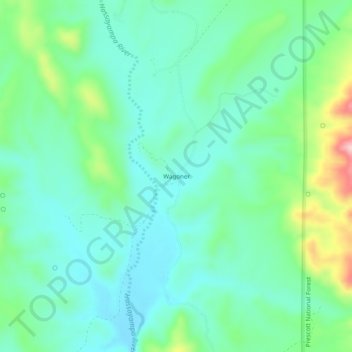
Name: Wagoner topographic map, elevation, terrain.
Location: Wagoner, Yavapai County, Arizona, United States (34.19364 -112.55573 34.23364 -112.51573)
Average elevation: 1,063 m
Minimum elevation: 1,004 m
Maximum elevation: 1,238 m