Geolocate

Pocto topographic map

Click on the map to display elevation.

About this map
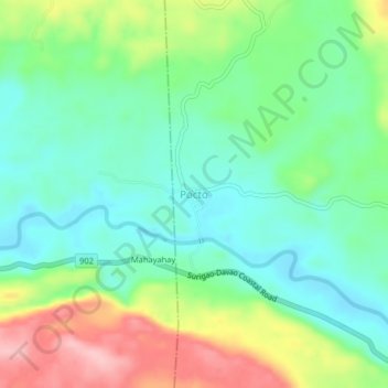
Name: Pocto topographic map, elevation, terrain.

Location: Pocto, Hinatuan, Surigao del Sur, Caraga, Philippines (8.40139 126.26113 8.44139 126.30113)

Average elevation: 60 m

Minimum elevation: 4 m

Maximum elevation: 168 m

Other topographic maps

Click on a map to view its topography, its elevation and its terrain.

Gear up for your next adventure:

🕶️Polarized Sunglasses - Reduces glare from snow and water at high elevations
🧥Waterproof Pants - Keep dry during rainy hiking conditions
🚲Bike Repair Kit - Essential tools for on-trail mechanical issues
⛺Family Camping Tent - Spacious tent suitable for family camping trips
🛶Kayak Dry Bag - Waterproof storage for kayaking adventures

As an Amazon Associate, this site earns from qualifying purchases at no extra cost to you.