Geolocate

Pawa topographic map

Click on the map to display elevation.

About this map

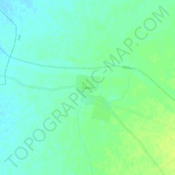
Name: Pawa topographic map, elevation, terrain.

Location: Pawa, Sumerpur Tehsil, Pali, Rajasthan, India (25.40339 73.05964 25.44339 73.09964)

Average elevation: 225 m

Minimum elevation: 218 m

Maximum elevation: 234 m

Other topographic maps

Click on a map to view its topography, its elevation and its terrain.

Jawai Dam

India > Rajasthan > Sumerpur Tehsil

Average elevation: 320 m

Jawai

India > Rajasthan > Sumerpur Tehsil

Average elevation: 302 m

Gear up for your next adventure:

🔦LED Flashlight - Powerful and long-lasting flashlight for camping and emergencies
🔦UV Flashlight - Detect minerals or specific insects in the dark
🧥Waterproof Pants - Keep dry during rainy hiking conditions
🧤Thermal Hiking Gloves - Grip-enhanced gloves for cold-weather altitude trekking
🧴First Aid Kit - Essential first aid supplies for outdoor emergencies

As an Amazon Associate, this site earns from qualifying purchases at no extra cost to you.