
Jagar topographic map
Interactive map
Click on the map to display elevation.
About this map
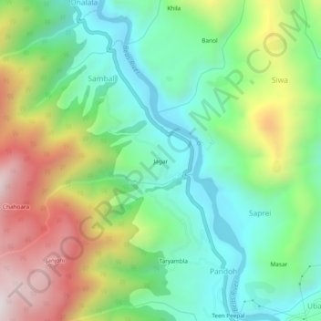
Name: Jagar topographic map, elevation, terrain.
Location: Jagar, Sambal, Mandi, Himachal Pradesh, 175124, India (31.67287 77.01795 31.71287 77.05795)
Average elevation: 1,133 m
Minimum elevation: 803 m
Maximum elevation: 1,723 m