
Thank you for supporting this site ❤️
Make a donation
Make a donation
Gear up for your next adventure:
As an Amazon Associate, this site earns from qualifying purchases at no extra cost to you.
Kilpin topographic map
Click on the map to display elevation.
Thank you for supporting this site ❤️
Make a donation
Make a donation
Gear up for your next adventure:
As an Amazon Associate, this site earns from qualifying purchases at no extra cost to you.
About this map
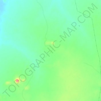
Name: Kilpin topographic map, elevation, terrain.
Location: Kilpin, Miya B, Ganjuwa, Bauchi State, Nigeria (10.67700 9.89833 10.71700 9.93833)
Average elevation: 529 m
Minimum elevation: 501 m
Maximum elevation: 592 m
Thank you for supporting this site ❤️
Make a donation
Make a donation
Gear up for your next adventure:
As an Amazon Associate, this site earns from qualifying purchases at no extra cost to you.