Geolocate

Giant topographic map

Click on the map to display elevation.

About this map

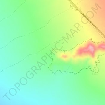
Name: Giant topographic map, elevation, terrain.

Location: Giant, Nazca, Province of Nasca, Ica, Peru (-14.75545 -75.08999 -14.73545 -75.06999)

Average elevation: 531 m

Minimum elevation: 473 m

Maximum elevation: 624 m

Gear up for your next adventure:

🎒Hiking Backpack - Lightweight and ergonomic backpacks for day hikes or multi-day treks
🥾Trail Running Boots - Durable shoes designed for trail running
🥾Hiking Gaiters - Protect legs and shoes from mud, snow, and debris
🥫Freeze-Dried Meals - Lightweight, high-calorie nutrition for multi-day treks
🌬️Windproof Camp Stove - Efficient cooking even on exposed mountain peaks

As an Amazon Associate, this site earns from qualifying purchases at no extra cost to you.