Geolocate

Baligatan topographic map

Click on the map to display elevation.

About this map

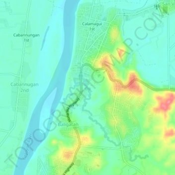
Name: Baligatan topographic map, elevation, terrain.

Location: Baligatan, Isabela, Cagayan Valley, 3300, Philippines (17.10340 121.84800 17.14340 121.88800)

Average elevation: 49 m

Minimum elevation: 25 m

Maximum elevation: 113 m

Gear up for your next adventure:

🛌Insulated Sleeping Pad - Critical thermal barrier between you and the cold ground
🛏️Camping Sleeping Mat - Comfortable mats for sleeping outdoors
🥾Lightweight Hiking Shoes - Comfortable shoes for day hikes
Camping Groundsheet - Protect your tent from moisture and dirt
🥾Hiking Leggings - Comfortable leggings for outdoor activities

As an Amazon Associate, this site earns from qualifying purchases at no extra cost to you.