
ગોધરા topographic map
Interactive map
Click on the map to display elevation.
About this map
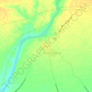
Name: ગોધરા topographic map, elevation, terrain.
Location: ગોધરા, Mandvi Taluka, Kutch District, Gujarat, 370405, India (22.89946 69.24524 22.93946 69.28524)
Average elevation: 30 m
Minimum elevation: 14 m
Maximum elevation: 41 m