
New Ulm topographic map
Click on the map to display elevation.
About this map
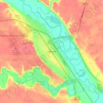
Name: New Ulm topographic map, elevation, terrain.
Location: New Ulm, Brown County, Minnesota, 56073, United States (44.27403 -94.50142 44.35403 -94.42142)
Average elevation: 279 m
Minimum elevation: 233 m
Maximum elevation: 316 m